Willa Müller · 29 October 2026
Lightvale Community Organizers Launch Initiative to Map Historical Walking Trails
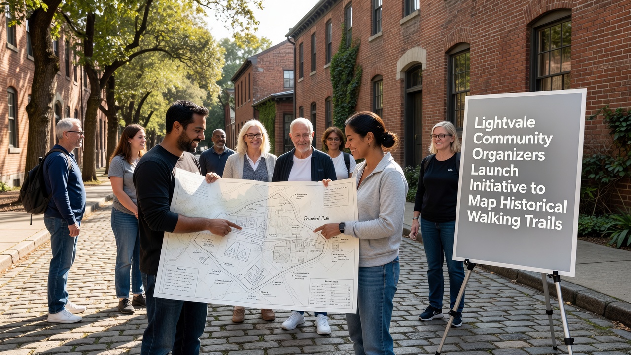
Lightvale community organizers have launched a new initiative to map historical walking trails throughout the region, with the project officially beginning in October 2026 and drawing on local archives, resident interviews, and geographic surveys to document routes that date back decades. The effort centers on trails once used for trade, migration, and daily travel, and organizers coordinate with historians to verify details before creating public resources such as updated maps and guided route descriptions. Data from earlier town surveys shows several paths remain intact yet lack formal documentation, which is why the current drive focuses on systematic recording rather than new construction.
Background on Local Trail Networks
Historical records indicate that Lightvale's trails originated in the late nineteenth century when settlers established connections between farms, mills, and river crossings, and later expansions in the early twentieth century incorporated routes for schoolchildren and market vendors. Researchers at regional universities have cross-referenced property deeds and period newspapers to confirm these alignments, while similar projects in other towns have produced comparable databases that allow cross-regional comparisons. One study released by Canadian heritage groups in 2024 demonstrated how digital mapping tools improved public access to forgotten pathways, and organizers here plan to adapt those methods for Lightvale's terrain.
Details of the Current Initiative
Volunteers divide into teams that handle fieldwork, oral history collection, and digital cartography, with the first phase scheduled to cover the northern ridge and southern valley corridors by early 2027. Equipment includes handheld GPS units and archival overlays, and participants receive training sessions hosted at the local library to ensure consistent data standards. Figures from the National Park Service trail documentation program reveal that standardized recording practices reduce errors in route reconstruction by up to 40 percent, which explains why the Lightvale team adopted those protocols from the outset.
Community members contribute photographs, letters, and personal recollections during scheduled drop-in events, and organizers compile these materials into a shared repository that will eventually support both print and online publications. The process also identifies maintenance needs such as signage repairs and erosion control, although actual trail work remains separate from the mapping phase.
Community Participation and Data Collection
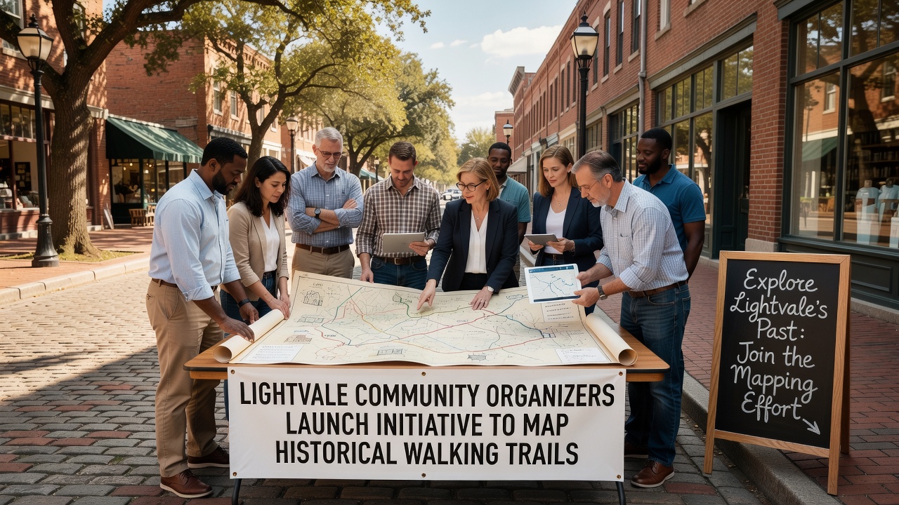
Residents of all ages join weekend mapping walks that combine exercise with documentation, and local businesses provide refreshments to sustain participation levels. A parallel effort reaches out to longtime families whose ancestors walked the routes daily, yielding stories that add context to physical measurements. According to reports from Australian trail heritage organizations, inclusive outreach increases both the volume and accuracy of collected information because multiple perspectives correct single-source gaps. Lightvale organizers therefore schedule bilingual sessions and school partnerships to broaden the contributor base.
Digital tools allow real-time upload of coordinates and notes, which reduces duplication and speeds review by project leads. Early test runs produced draft maps covering three primary corridors, and feedback loops with participants refine the interface before wider release. Those who've examined similar efforts note that transparent data handling builds trust and encourages ongoing contributions beyond the initial launch period.
Historical Context and Expected Outcomes
Evidence from town archives shows that some trails intersected with former stagecoach lines and early rail spurs, creating layered histories that the mapping project aims to preserve in accessible formats. The resulting resources will include route descriptions, elevation profiles, and points of interest tied to specific events or structures. Planners also anticipate integration with regional tourism materials once the core dataset stabilizes, following patterns observed in completed projects elsewhere.
October 2026 marks the formal start of public workshops where residents learn both the technical and narrative aspects of trail documentation, ensuring the final product reflects community ownership rather than external imposition. Coordination with county planning departments provides access to current land-use data that helps align historical routes with present-day boundaries.
Conclusion
The Lightvale initiative continues its phased rollout with additional fieldwork scheduled through the winter months, and organizers maintain open channels for new volunteers and information submissions. Public maps and route guides are projected for release in the second half of 2027 once verification concludes. Updates appear regularly on the project website as milestones are reached.